Initialize an empty ggplot for a SpatialData object. This function is typically combined with one or more calls to add specific plot layers.
Examples
x <- file.path("extdata", "blobs.zarr")
x <- system.file(x, package="spatialdataR")
x <- readSpatialData(x, tables=FALSE)
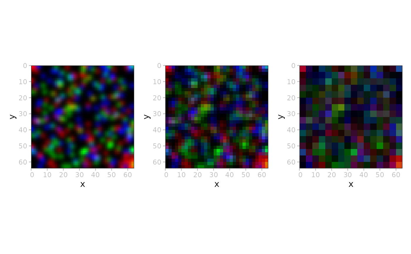
ms <- lapply(seq(3), \(.) plotSpatialData(x) + plotImage(i=2, k=.))
patchwork::wrap_plots(ms)